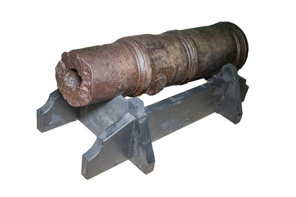
The cast-iron cannon displayed at the ‘Peter the Great’s Siberian City’ exhibition dates back to the 18th century. Only the breech has been preserved. There is a fragment of a cast round plate on the end of the breech. But the inscriptions on it are indecipherable. The cannon was discovered in October 1953 by the workers, who laid the tramlines to the Komsomolsky bridge through the Om between the Lermontova and Desyatiletia Oktyabrya streets.
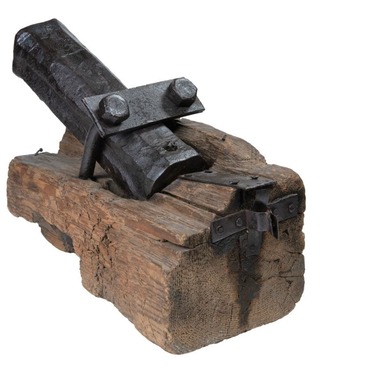
The weapon was on the historical territory of the first Omsk fortress, which was founded by the team of lieutenant colonel Ivan Bukholts, Peter the Great’s supporter, in 1716.
The pentagonal fortress occupied an area of about 6 hectares. It was situated on the left shore of the Om, 500 meters from the Irtysh. Now there is the Square to the Fighters of Revolution, the buildings of the Omsk State Musical Theater, and the Omsk State Council. The fortress buildings were made of wood, so none of them has survived. From the north, the fortress was adjacent to the Om shore, and from the other sides, it was surrounded by a dry moat 3 meters deep and 4 meters wide. Behind the moat was a small rampart with a palisade of vertical pointed logs on the inside. There were bastions on the outer corners of the fortress. At some distance from the moat were the rows of chevaux de frise and dragon’s teeth — small poles dug into the ground. Several gates led to the fortress: Spasskiye gate from the side of the Irtysh, Znamenskiye in the southeast, Nikolskiye to the Om shore, and Shestakovy in the east. A church in the name of St. Sergius of Radonezh, administrative buildings, and barracks were erected in the fortification.
Gradually, settlements formed near the walls of the fortress. The first of them was called Lugovskaya Sloboda. Later, people began to settle on the right shore of the Om. The pontoon bridge was constructed for communication between the villages (slobodas). The fortress population consisted of the Cossacks, free migrants, and convicts. According to the census of 1725, 992 men lived in the fortress. There were few women and children, so they were not counted. They were engaged in farming 一 cultivated the fields around the fortress.